
Model Maker
Terrain modelling and digital terrain models (DTM) — the core survey program. Data capture, triangulation, volumes, sections, analysis and integrated CAD.
6 programs, 40 modules between them. You licence only what you will use, and add to it later at the price current at the time.
Terrain modelling and digital terrain models (DTM) — the core survey program. Data capture, triangulation, volumes, sections, analysis and integrated CAD.

Road and corridor design for design engineers and contractors — horizontal and vertical alignment, cross-sections, earthworks volumes and quantities.

A dedicated survey program for the land, engineering, mining and geodetic surveyor — data capture, reductions, calculations and adjustments.

Pipeline design for water, stormwater and sewer networks — long sections, hydraulics, earthworks and quantities to SABS 1200.

Handle millions of scanned points with ease and bring them into Model Maker for normal modelling — import, filter and analyse point-cloud data.
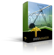
Irrigation design for agricultural and landscape projects — micro, drip and sprinkler networks, with terrain modelling and CAD built in. A complete, standalone program.
Buy, Lease and Subscription are all subject to our Terms and Conditions. Prices exclude VAT where applicable; no VAT is charged on exports.
Register free to download a trial of any program. No obligation.
The 30-day trial is subject to our Terms and Conditions.
